
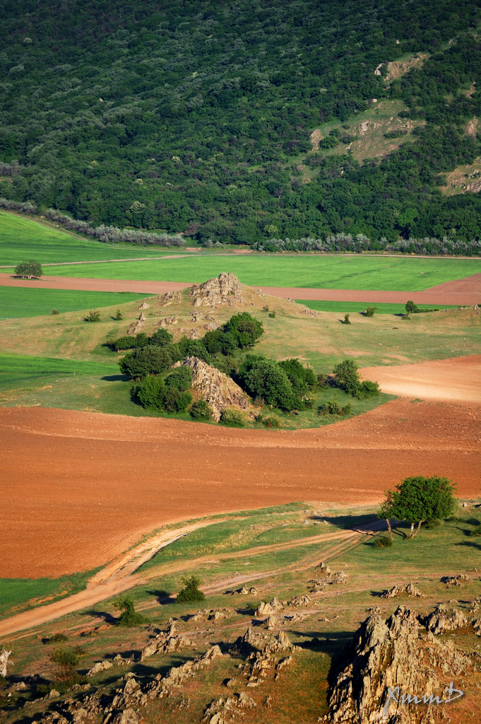
Dobruja (in Romanian „DOBROGEA„) in one of the hidden gems of Romania, often neglected even by Romanians. At the first look at the landscape, nothing spectacular is there : no „real” mountains (highest point is 467 m above sea level), some hills and a large plain. Before reading more about it, see some images from Dobrogea.


Dobruja is a historical region shared today by Bulgaria and Romania. It is situated between the lower Danube River and the Black Sea, and includes the Danube Delta, Romanian coast, and the northernmost part of the Bulgarian coast. The territory of Dobruja comprises Northern Dobruja, which is part of Romania, and Southern Dobruja, which belongs to Bulgaria.
The territory of the Romanian region Dobrogea is now organised as the counties of Constanța and Tulcea, with a combined area of 15,500 km² (6,011 sq. miles) and a population of slightly less than a million. Its main cities are Constanța, Tulcea, Medgidia and Mangalia. Dobrogea is represented by dolphins in the coat of arms of Romania.
With the exception of the Danube Delta, a marshy region located in its northeastern corner, Dobruja is hilly, with an average altitude of about 200–300 metres. The highest point is in the Țuțuiatu (Greci) Peak in the Măcin Mountains, having a height of 467 m. The Dobrogea Plateau covers most of the Romanian part of Dobruja, while in the Bulgarian part the Ludogorie Plateau is found. Lake Siutghiol is one of the most important lakes in Northern Dobruja.
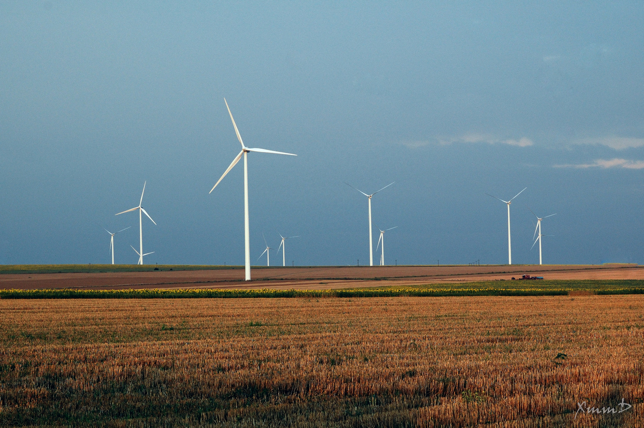 Windmills (except for some hot summer days, Dobrogea is a very windy area)

